La Grande Caraïbe décryptée depuis 2015
Coastal Erosion in the Caribbean: A Massive and Still Underestimated Risk
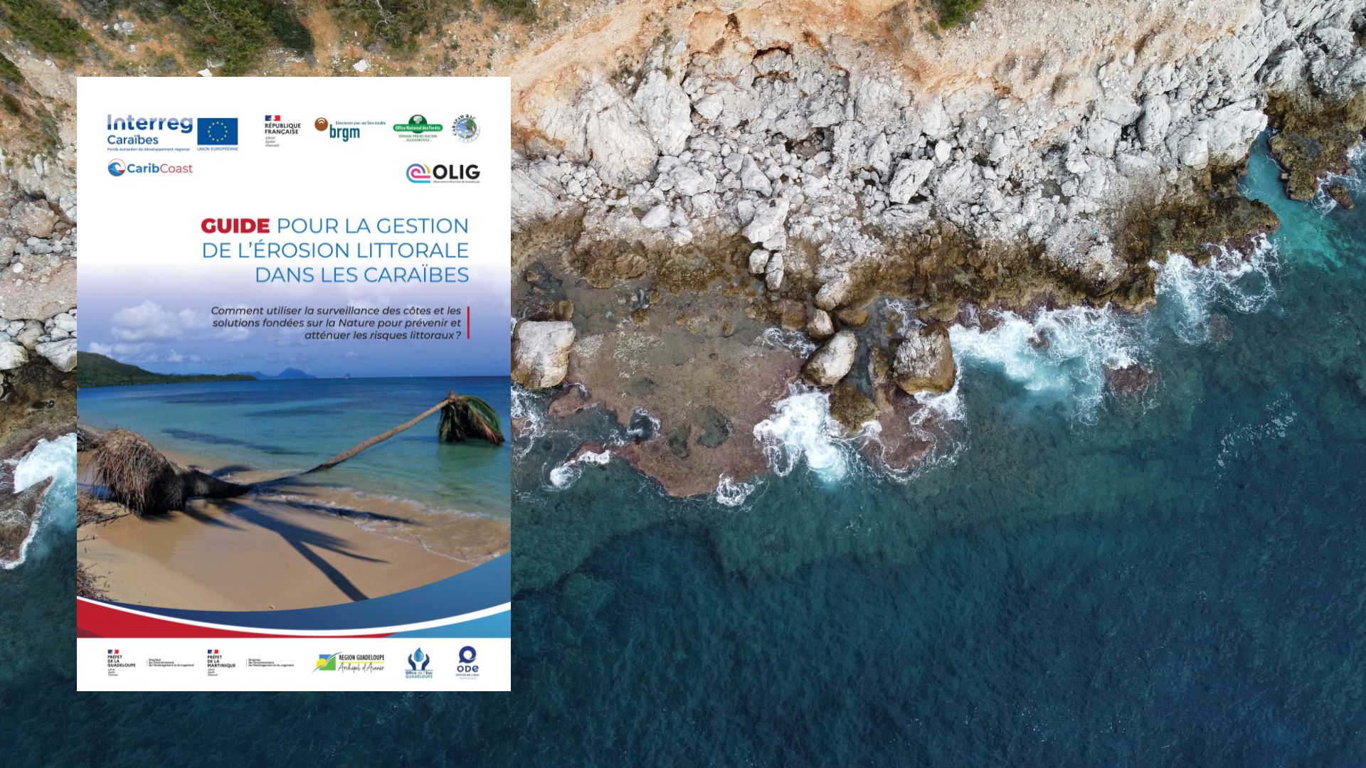
Published under the Interreg CARIB-COAST programme, the Guide for Coastal Erosion Management in the Caribbean offers a structured assessment of the risks facing the region’s coastal zones and the responses available. Designed for public decision-makers and managers, the document draws on field experience and international recommendations to better understand a phenomenon that is accelerating with climate change.
Behind the technical approach, one reality stands out: the Caribbean concentrates its populations, infrastructure, and economic activity along coastlines that are particularly vulnerable.
Coastal Territories Under Constant Pressure
Caribbean coastal zones combine several factors of fragility. They are exposed to intense natural hazards — hurricanes, swell, storm surge — as well as slow-onset dynamics such as sea level rise.
The geographic and climatic context compounds this exposure. The region sits within an active hurricane zone, with peak intensity in September, while waves and trade winds permanently shape coastal dynamics.
Adding to this is a structural reality: a large share of the population and economic activity is concentrated in narrow coastal strips.
Erosion Already Measurable and Documented
The data presented in the guide are unambiguous. In Guadeloupe and Martinique, around one third of sandy coastlines have been in retreat since the 1950s.
At the regional scale, the average rate of shoreline retreat is estimated at 0.5 metres per year across several islands studied.
Extreme events can dramatically accelerate these dynamics. After Hurricane Irma struck in 2017, some beaches in Saint-Martin and Saint-Barthélemy retreated by between 5 and 30 metres in a single event.
These figures reflect a clear reality: erosion is not a diffuse, background phenomenon — it is already visible, measurable, and sometimes dramatic.
Key Ecosystems… Under Threat
The guide places strong emphasis on the central role of coastal ecosystems in the natural protection of shorelines.
Coral reefs cover more than 26,000 km² across the region and are home to around 30,000 species. Seagrass beds extend across nearly 66,000 km², while mangroves cover approximately 22,000 km² — representing close to 15% of the global total.
These environments play a decisive role:
- absorbing wave energy
- stabilising sediments
- reducing marine submersion.
Their degradation directly weakens the natural protection capacity of coastlines.
Marine Submersion: A Threat Amplified by Hurricanes
Marine submersion is the other major risk identified. Each year, the Atlantic basin experiences an average of around twelve tropical storms, including six hurricanes. The effects can be extreme:
- waves exceeding 10 metres
- storm surges of more than 2 metres in some areas
- seawater penetrating up to 800 metres inland during major events.
The 2017 hurricane season illustrates this vulnerability: 22 of 29 islands were struck by major hurricanes.
Climate Change: A Risk Multiplier
The document highlights a key point: climate change acts as an amplifier. Across the wider Caribbean:
- 500,000 people live less than 0.5 metres above sea level
- 1 million people live below the one-metre threshold.
The Bahamas emerge as the most exposed territory, with more than 40% of the population living below this threshold.
Rising sea levels, combined with more intense hurricanes, leave little doubt that impacts will worsen in the years ahead.
Human Factors Making Things Worse
Erosion is not purely a natural phenomenon. The guide identifies several human-driven factors:
- poorly designed coastal developments
- sand extraction
- urbanisation of low-lying areas
- ecosystem degradation.
One concrete example: the collection of sargassum can result in up to 50% sand extraction within the volumes recovered, directly accelerating erosion.
Toward Integrated Coastal Risk Management
Faced with these challenges, the guide proposes a structured approach. Four main levers are identified:
- prevent (information, land-use planning)
- adapt (reduce the vulnerability of infrastructure)
- protect (engineered structures or nature-based solutions)
- manage crises (early warning, evacuation, reconstruction)
Strategies must be combined, adaptable, and tailored to each territory. The idea of a one-size-fits-all response is clearly rejected.
Nature as a Strategic Solution
The document insists on a paradigm shift: nature-based solutions are no longer secondary options.
Mangroves, reefs, dunes, and seagrass beds are now to be treated as infrastructure in their own right. Their restoration can provide durable protection — often more effective and less costly in the long run than conventional engineered structures.
The prerequisite: preserving them, restoring them, and integrating their functioning into public policy.
A Political and Territorial Urgency
This guide puts the situation plainly: the Caribbean is on the front line of coastal risk.
The data are already there. So are the impacts. The question is no longer whether coastlines will change, but how fast — and with what consequences for populations, economies, and territories.
Managing coastal erosion has become a major strategic issue for the region as a whole.